WE’RE ready to help, serving all of arkansas
Nix Land Surveying serves the entire state of Arkansas, with many types of professional land surveying services. Check out some of our most common types of services below, and get a free quote on your project. Don't see the type of project you need listed? That's ok! We most likely cover that service too! Any and all professional land surveying needs can be met here. Email your project needs to: [email protected], or click the button "schedule an appointment" at the bottom of the page, and we will be happy to get you on your way to your free price quote.
Boundary Surveys
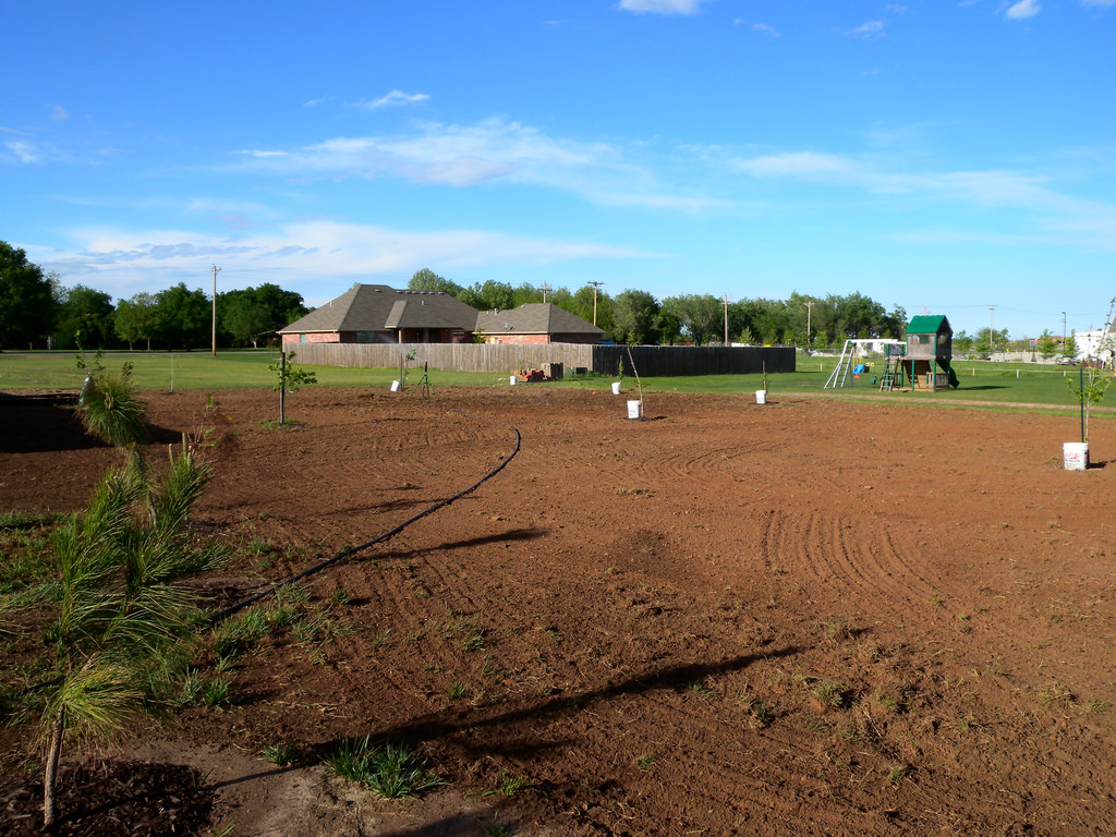
Boundary surveys are a type of professional land survey where the boundaries of a piece of property are established by setting steel rebar at the corners and marking the lines with either bright flagging or paint, by customer choice. Boundary surveys can be for private individuals, commercial managers, timber companies, real estate brokers, or basically anyone with an interest in the size, shape, and on-the-ground location of a piece of property.
Topographic/Elevation Surveys
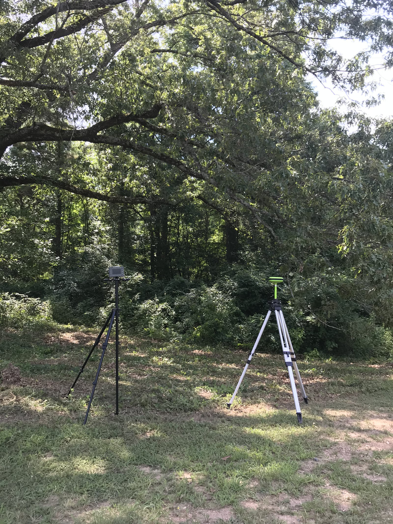
Topographic surveys are used for mapping out not only the horizontal dimension/size of a property but they also focus on elevation changes and creating a map showing all the changes of the height of the actual ground level. These topographic surveys can be used for determining ground water drainage, ground heights above water tables, building site grade needs, and many other applications in the mapping and development world. Elevation certificates are done through FEMA and help determine the height of a building or property above a given floodplain to assist with flood insurance.
|
Construction Stakeouts
Construction stakeouts are usually for contractors who want accurate points marked for a planned construction project. These points may be roads, buildings, drainage, or designed points of certain elevations for grade work (raising and lowering of current ground level). Private individuals sometimes need this service for do-it-yourself projects with the same point location needs, and for new structures they may desire to keep a certain distance from a property line or existing structure.
Oil Well and Pipeline Stakeouts
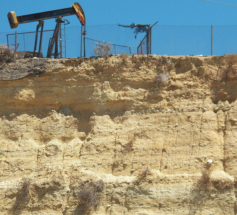
Much like construction stakeouts, oil well and pipeline surveys generally have a predetermined location and it is the job of the professional land surveyor to properly located and mark those designed locations on the ground. Oil wells generally have a minimum required distance from other wells and from property boundaries. Professional land surveyors locate these existing points and set a new point at a location that fits all of the minimum requirements, so the oil well owner can drill in the correct location. Pipeline surveys usually are provided to establish a certain designed route from one point to another, crossing multiple pieces of property. These pipelines need to be not only marked in the correct location, but all the pieces of property that they affect need to have an established boundary survey, at least enough to properly document the pipeline's location in relation to the boundaries of each property.
|


